
Description
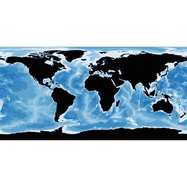
Bathymetry is apparently a digital image that shows the undersea land surface and water depth. This is based on a NASA public domain image.
SVG ID
131362
Size
4.14 MB
No. of downloads:
103
Date:
07/10/2020
License:
Public Domain
SVG published by: