
Description
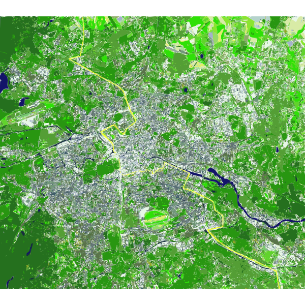
The Berlin Wall as a line on a satellite map depicting its cutting in half, East and West Germany, now both reunified as one Germany. Source Public Domain Image: http://commons.wikimedia.org/wiki/File:Berlin_satellite_image_with_Berlin_wall.jpg
SVG ID
90056
Size
2.91 MB
No. of downloads:
130
Date:
02/02/2020
License:
Public Domain
SVG published by:


")
