
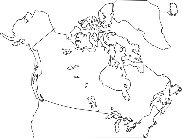
Description
Canada and Northern United States. Traced from http://commons.wikimedia.org/wiki/File:Canada-satellite.jpg. American border is approximate. Contains all Canadian provinces, territories and major lakes. Also contains Baffin Island and Canada's north. This is version 2 which adds more detail to the Maritime Provinces, fixes the border, and adds islands to Hudson's Bay, and some Great Lakes fixes.
SVG ID
86924
Size
0.04 MB
No. of downloads:
266
Date:
04/11/2019
License:
Public Domain
SVG published by:


